Sunshine Coast: Skookumchuck Narrows & Sechelt Inlet
After leaving FibreWorks, John and I made our way to Egmont, on the Eastern side of the Sechelt peninsula as we continued to explore the Sunshine Coast last weekend.
View Larger Map
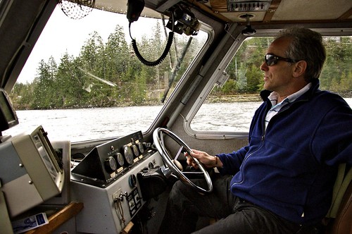
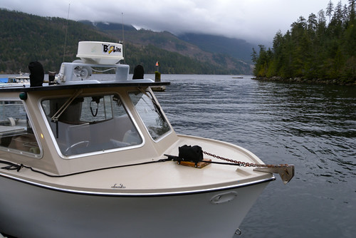
From there we met with Bryce Christie of Sunshine Coast Tours out on the dock by the Backeddy Pub. We piled into the B-Line and plotted a course to the Skookumchuck Narrows.
Skookumchuck is Chinook Jargon that means strong or powerful (“skookum”) and waters (“chuck”). Chinook Jargon became a trade language up and down the coast, used by settlers and first peoples. It is based on the Chinook language but is not the same. There are many places in BC, up to the Yukon and down into Washington State that have Chinook Jargon names such as Cultus Lake (cultus meaning “bad, worthless”), Hyak (as in the New Westminster Hyaks, means “fast”, or “hurried”), Siwash (as in Siwash Rock, is reference to a First Nations male), and Tyee (means “Chief” or “boss”).
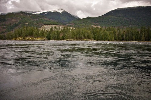
We headed toward the strong, churning waters of the Skookumchuck Narrows which get up to 16 knots (30 km/h) when the current is in full swing. The inlet funnels water from the Georgia Straight up to several other inlets that all drain back down through the narrows. At certain points of the day this spot see very dangerous rapids with whirlpools, waves, and a cascading ocean that rises several feet.
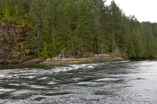
There wasn’t much churning going on when we passed through but you could definitely feel the current tugging at the boat. Skookumchuck Narrows is also a Provincial Park so you can park your car in Egmont and walk in about 1 hour to get a nice view of the water from the rocks on shore.
We spotted several hikers doing just this. Apparently the rapids are also a playground for kayakers looking for some thrills when the currents are in full swing.
Bryce took us down around the narrows then further North, toward Jervis Inlet. This area was originally explored, charted, and named by Captain George Vancouver. Bryce explained that Vancouver always had a theme in mind when naming islands, inlets and points on the map. He had a military theme (ie. Burrard, Howe Sound) followed by battles (ie. Agamemnon Channel), then a royal theme (ie. Princess Louisa, Queen Charlotte), and also nautical officers (ie. Jervis Inlet).
We learned about local industry (gravel, logging, oyster farms) and about how this is a scuba diver’s dream with artificial reefs and varying depths. Bryce helped us spot some pictographs on the cliffs, which are always neat gems to find and attempt to decipher.
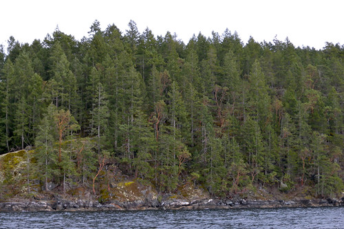
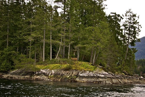
Passing by private islands covered in Arbutus trees we just imagined what it would be like to build a house on one of them. I spotted a few island homes (and islands) that I’d like to purchase when I win the lottery.
Our tour was complimentary but you can book your own 50 minute tour from Sunshine Coast Tours for $39. They also offer a 6-hour tour up to the Princess Louisa Inlet which is about $139 for adults.
Back on dry land we headed back to the resort. The following day as we packed up and said goodbye to Pender Harbour we made a stop in Sechelt as Westcoast Air hosted us for a scenic flight tour – taking us above almost the exact path we took on the boat. That profile will be my final entry for the Sunshine Coast series.
View you may view all of my photos, or those from John, on Flickr.








3 Comments — Comments Are Closed
Thanks for bringing a little bit of the Sunshine Coast to the southern hemisphere … 🙂
I have a Flickr set of photos from Skookumchuk Narrows, including some shots of the kayakers: http://www.flickr.com/photos/ruthanddave/sets/72157621376291725/
We’ve sat and watched Kayakers take on the narrows. It’s fun to watch them from the shore. It’s also cool to watch how the tide controls the narrows too!
Also, it’s the spot where the Tugboat got flipped and kayakers rescued the captain: http://bit.ly/PERrDX