Vancouver USA: Land Bridge
There had to be a better way to get pedestrians over a set of busy train tracks and a four-lane highway in a scenic riverside city and Vancouver, Washington found the perfect solution. In 2008, with federal, state, and private funding, the Vancouver Land Bridge opened to the public. This 40-foot wide paved pathway links up the regional Discovery Trail System and connects the riverfront walkway to Fort Vancouver National Historic Site.
View Larger Map
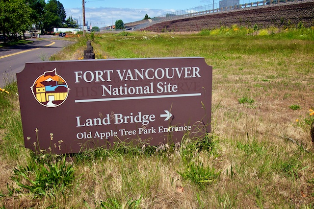
John and I were staying at the Red Lion at the Quay during our “Vancouver to Vancouver” trip recently and decided to explore the area the way we usually do when we travel: on foot. The hotel is right along the River Waterfront Trail on the north side of the Columbia River so we headed east, under the I-5 bridge that connects Washington and Oregon, and found the entrance to the Land Bridge.
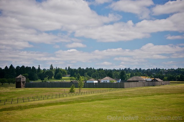
Our goal that day was to explore Fort Vancouver but stumbling across the Land Bridge was a bonus. Not only was it the best — and safest — way to get to the historic site, going under the train tracks and over Highway 14 (Lewis and Clark Highway), it’s also ranked within the Top 10 attractions in Vancouver, Washington on Trip Advisor.
The Vancouver Land Bridge is one of seven sites of the Confluence Project:
Designer Maya Lin, who designed the Vietnam Memorial, was commissioned by Native American tribes and civic groups to create a series of seven art installations along the Columbia River Basin created to evoke the history of the Lewis and Clark Expedition. These installations range from the border of Idaho to the mouth of the Columbia River. [Source: About]
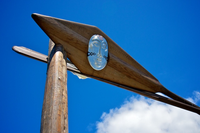
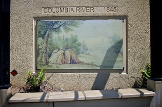
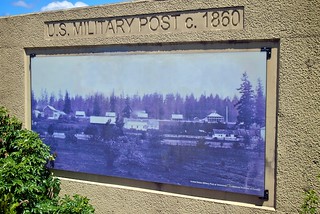
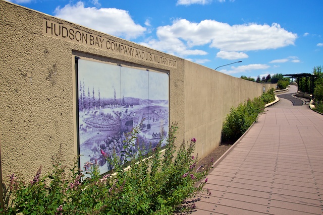
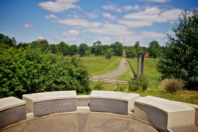
The wide, smooth paved pathway is lined with native plants, historical information, and tributes to the local First Nations, masking the fact that you’re walking over a rushing highway. On the south side, where we began our walk across the Land Bridge, we crossed through a portal before getting to a Historical Timeline series of photographs and paintings along the wall.
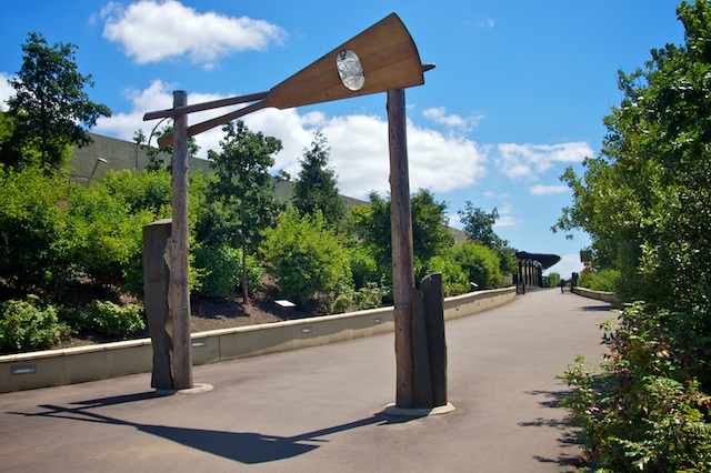
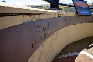
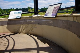
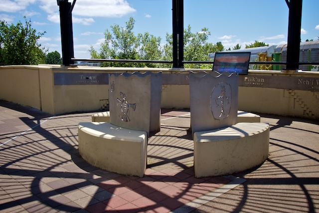
As we ascended, we didn’t get many great views of the river on our right because a train was passing at that moment. We did stop at the first set of about 3 rotundas that had symbols and quotes from local First Nations.
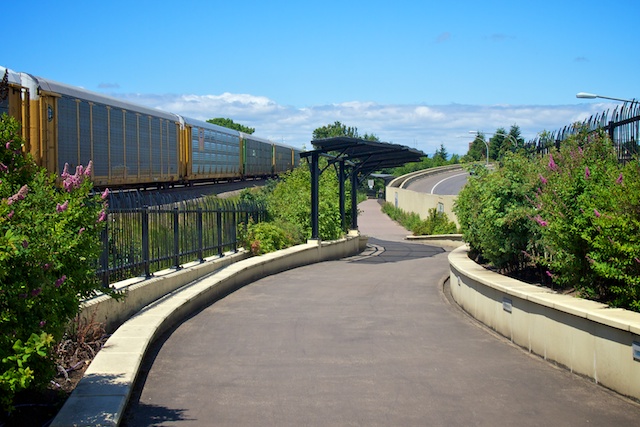
Designer Johnpaul Jones seems to have almost massaged the landscape, pulling it up and over the railway tracks and highway to connect Fort Vancouver with the Columbia River waterfront. “Like in the old days, you can now walk from the river to the fort and back,” says Jones, of Jones and Jones in Seattle. [Source: Seattle Times]
At the top of the gentle grade was the span of the bridge that covered the highway followed by the Prairie Overlook and another rotunda. This wound down to the Village Overlook, with another rotunda, that reached down to the level of the meadow and orchard adjacent to the Fort.
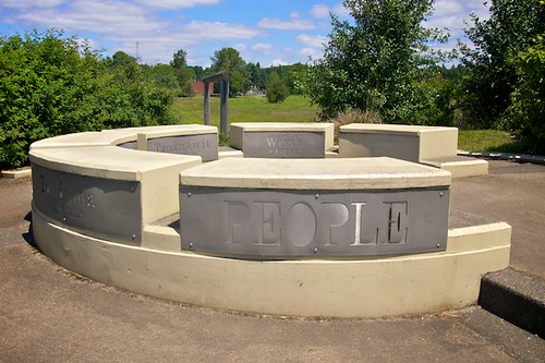
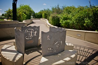
“The land bridge is a real link connecting back to the Klickitat Trail, Lewis and Clark, and the development of the Northwest. It completes a circle that’s been broken.” Johnpaul Jones [Source: Confluence Project]
Berry shrubs and bushes had informational placards (I had never previously heard of the Serviceberry), and we walked out into the grass field with Fort Vancouver in site.
We’ve been over the Laurel Street Land Bridge in Vancouver, BC that connects Fairview to Charleson Park along False Creek but this was a whole other level of land bridge. Between its convenient location, beautiful scenery, history lesson, and elegant layout, I can see why this bridge is a top attraction.
Learn more about the Confluence Project by following updates on Facebook.
Related posts about our Vancouver, USA trip: The Grant House, William Robert Broughton, Fort Vancouver (coming soon).
