8,000 Hectares of Protected Metro Vancouver Parkland Added to Database
Metro Vancouver has added more than 8,000 hectares of regional parkland to a nationwide database of protected and conserved areas. The federal government is aiming to conserve 30% of Canada’s land and water by 2030 and is working with partners across the country, including Metro Vancouver, to achieve its goal.
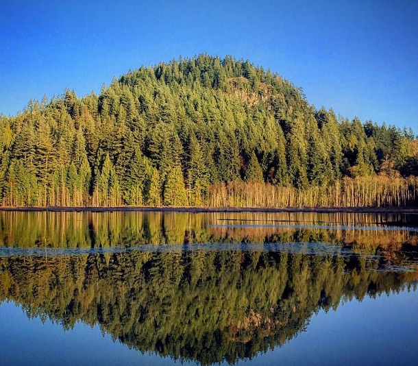
Metro Vancouver Parkland
Recognizing the importance of protecting green spaces for future generations.
This work includes adding to the Canadian Protected and Conserved Areas Database, which provides a clearer and more complete picture of, and critical information about, the conservation network across the country. It is used by a wide range of people and organizations, such as governments, non-government organizations, researchers, land managers, industry, and the public.
Part of Metro Vancouver’s contribution to the database is the 2,300-hectare Burns Bog Ecological Conservancy Area and Delta Nature Reserve. Burns Bog is a raised bog located between the Fraser River and Boundary Bay and is the largest undeveloped urban land mass in North America. It has a unique ecosystem that is home to diverse plants and wildlife and is one of a handful of sandhill crane nesting sites in the Lower Mainland.
“The inclusion of the Burns Bog Ecological Conservancy Area in the Canadian Protected and Conserved Areas Database is a proud milestone for our community, made possible through our strong collaboration with Metro Vancouver,” said City of Delta Mayor George V. Harvie. “This designation supports our collective commitment to protecting this globally unique bog — an ecological treasure that plays a vital role in carbon storage and biodiversity conservation. By formally recognizing Burns Bog, we are making another meaningful contribution to Canada’s goal of conserving 30 per cent of our lands and waters by 2030.”
Some of Metro Vancouver’s parks and green spaces were added in their entirety, such as Kanaka Creek Regional Park, Burns Bog Ecological Conservancy Area/Delta Nature Reserve, and Fraser Islands Regional Park Reserve. More than 90% of təmtəmíx ʷtən/Belcarra Regional Park, Blaney Bog Regional Park Reserve, Minnekhada Regional Park, Surrey Bend Regional Park, Thwaytes Landing Regional Park, and Tynehead Regional Park were also added. Fourteen other parks have portions in the database.
This work was done with the support of BC Nature, which helps local governments determine which potential sites meet federal criteria for protected areas through the Municipal Protected Areas Project and assists with registering lands in the database. The Municipal Protected Areas Project is coordinated by Nature Canada.
“Metro Vancouver is leading by example, showing how protecting the parks and green spaces people love in their own communities can drive real progress,” said Dylan Rawlyk, Organizing Manager for Nature Canada. “This achievement highlights the value of local action in the journey toward protecting 30% of Canada’s lands and waters by 2030 and reminds us to celebrate the nearby spaces where people and wildlife can thrive together.”
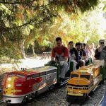
Metro Vancouver’s regional park system is made up of 24 parks, five greenways, two ecological conservancy areas, and two regional park reserves, spanning nearly 14,000 hectares in communities from Bowen Island in the west to Langley and Maple Ridge in the east. Metro Vancouver is working to expand this system with the goal of creating a resilient network of connected parks and greenways for the region’s growing population that balances the protection of natural areas with providing access to nature.
Resources:
- A full list of regional parkland that was added to the database.
- A map of all land added to the Canadian Protected and Conserved Areas Database.
Related: