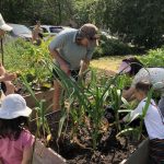
Hiking in Mount Baker Snoqualmie National Forest
It’s one thing to spend your life looking over at an active glaciated andesitic stratovolcano and it’s another to actually hike at its base. Mount Baker, visible from Vancouver on any sunny day, is located in Washington State and is a part of the Cascade Volcanic Arc in the North Cascades. It’s easy to get to from Bellingham, which is just across the Canada/USA border and there is a series of walks and hikes for all skill levels in the Mount Baker Snoqualmie National Forest.
Hiking in Mount Baker Snoqualmie National Forest
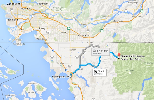
From Downtown Vancouver, it’s about 1 hour and 45 minutes to the Public Service Centre in Glacier (along Mount Baker Highway), and if you’re starting out from Downtown Bellingham the drive is about 50 minutes.
At the Public Service Centre you can pick up your National Forest Recreation Pass for $5/day. You can also purchase online in advance but be sure to get the right pass. The pass for a National Park like Mount Baker Snoqualmie is different than a state park pass.
The service centre will have maps and detailed daily information about the trail network as well as park rangers on hand to answer any questions you might have. Most of the mild to moderate hikes depart from paved parking lots, with primitive restroom facilities, and have well-marked paths with signage.
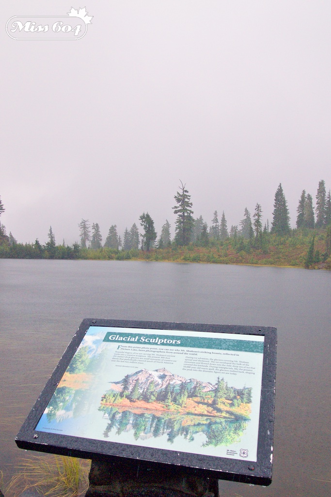
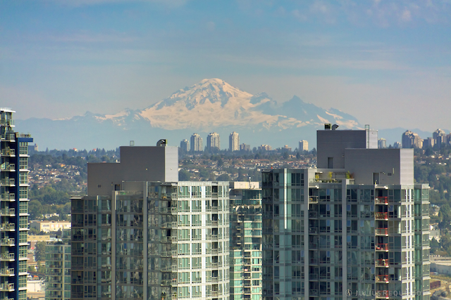
On a clear day, I would have seen a volcano there
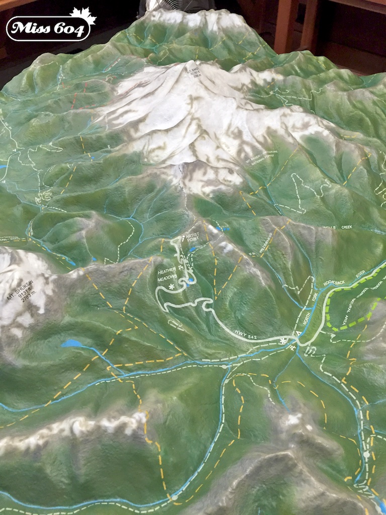
The original plan for our group was to head to the very end of the road at Artist Point but it was so rainy and foggy that we could barely see the road, let along Mount Shuksan or Mount Baker (which is also know as Koma Kulshan or simply Kulshan). We parked just south of Artist Point, at the Heather Meadows Visitor Centre, which is at milepost 56 on the Mount Baker Highway.
Heather Meadows Visitor Centre
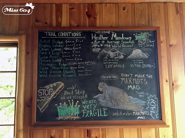
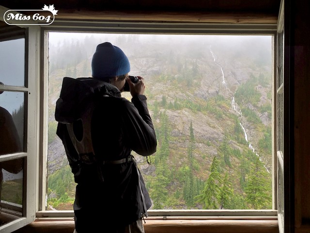
Overlooking Bagley Lakes, this visitor centre is open daily from 10:00am to 4:00pm from mid-July to late September. You may still find snow in the parking lot in early August so this is definitely a late summer hiking destination. At the Heather Meadows Visitor Centre, which we made our home base for the day, you can purchase, books, maps, get trail and wildlife information. The roaring fireplace also helped us warm up after getting soaked on our hike.

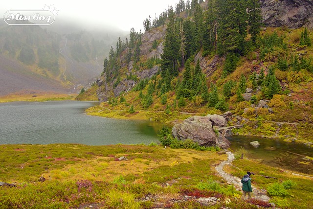
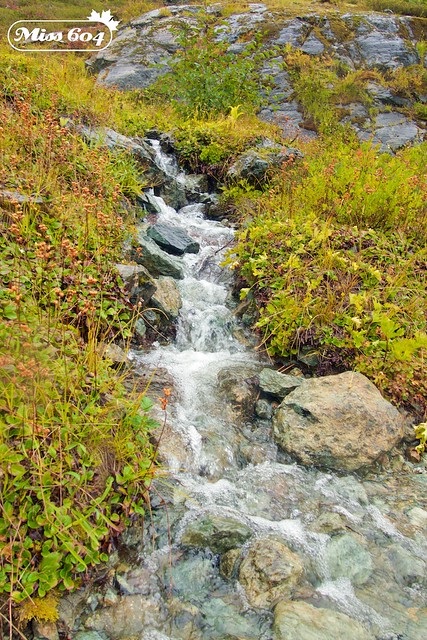
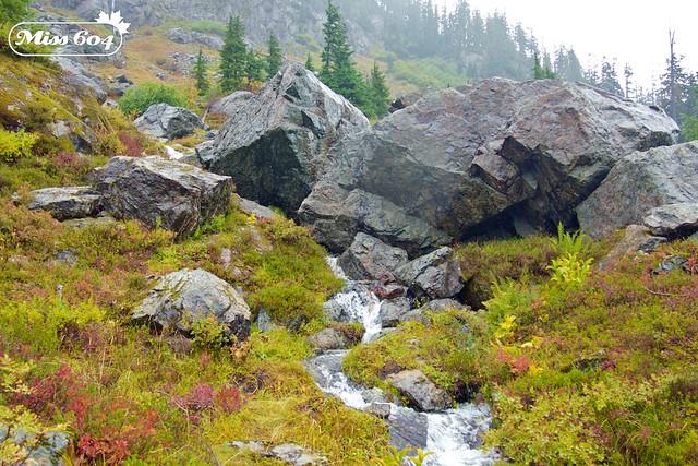
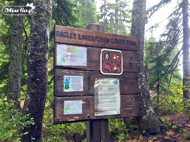
Bagley Lakes and Wild Goose Trail
From Heather Meadows we walked down between Bagley Lakes and traversed the mountainside, crossing waterfall streams that flowed down into the bodies of water below.
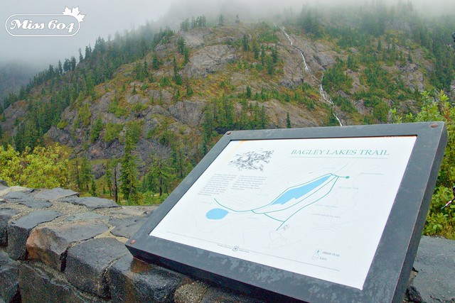
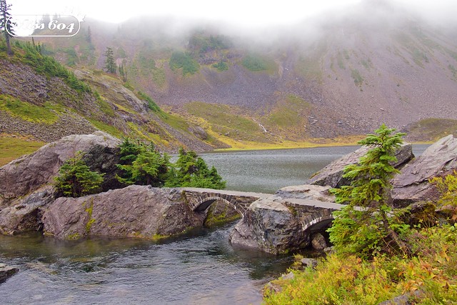
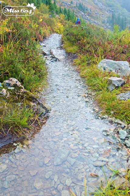
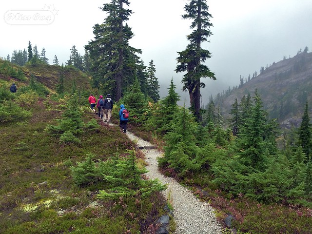
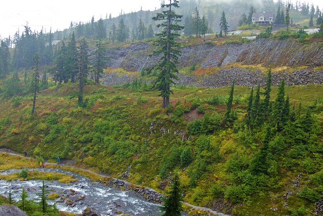
We crossed back over the water and caught up with the Wild Goose Trail that took us back up to the meadow high above the lakes below, returning us to the visitor centre.
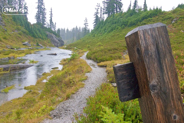
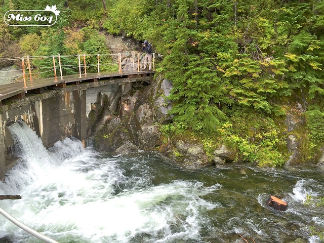
Horseshoe Bend
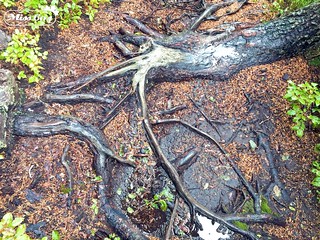
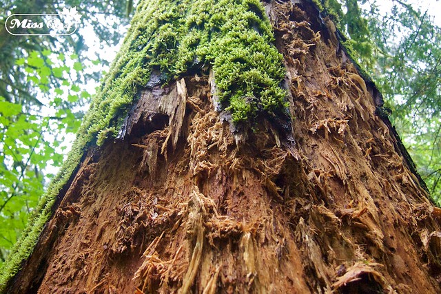
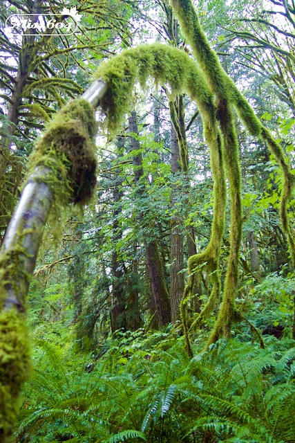
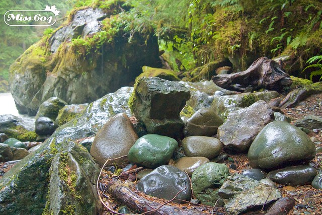
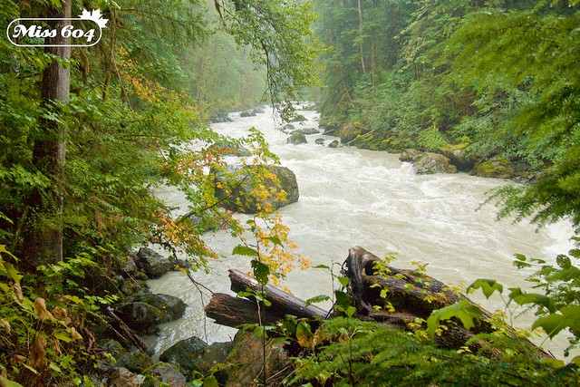
After warming our gear and eating a packed lunch, our group was up for one more adventure so we descended from Heather Meadows and drove down toward Glacier (to milepost 35.4 on the Mount Baker Highway). We stopped at the Horseshoe Bend trail — across from Douglas Fir Campground — that follows the Nooksack River. We hopped out for another hike in the pouring rain as the rushing river alongside us flowed ferociously, replenished by the first significant rainfall of the summer.
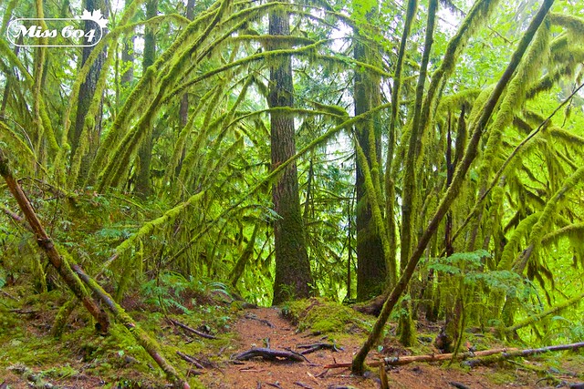
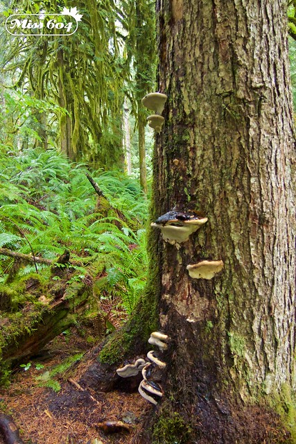
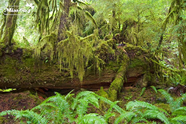
The terrain here, 20 miles down from Heather Meadows, was much different. The sharp basalt rocks and stones were replaced with lush fern beds, and fir trees covered in fuzzy moss and lichens thriving in the warm, moist forest canopy.
Thoroughly soaked to the core once again, we piled into our van and headed back to Bellingham with smiles on our faces and puddles in our shoes. It really was a lot of fun to explore the Mount Baker Snoqualmie National Forest, even if the star attraction didn’t make an appearance from under its cloud blanket.
I’m already planning a return trip with John so that we can do some similar hikes as Shuksan and Baker look on. The best part is that we can head out there on a clear morning with a good weather forecast that day since it’s so easy to get to from Vancouver. If the rain starts to pour and the clouds block out our mountain views, I know we’ll still enjoy a rainy hike, and a good warm up back in Bellingham at the local brew pubs.
View my full album of photos from my Bellingham Adventure Tour on Flickr
Other Hike Options
Here are the best trails recommended by Bellingham Whatcom County Tourism, all of which were options for us in late August, should the weather have cooperated:
Heather Meadows & Austin Pass Picnic Area (at mileposts 55-56)
Picture Lake (1/2 mile / .8 km)
This short easy trail, which is also wheelchair accessible, is not short on views. Get your camera out for the spectacular shot of Mount Shuksan reflecting in the lake. It also offers nice fall colour. Parking is on the Mount Baker Highway at milepost 55.
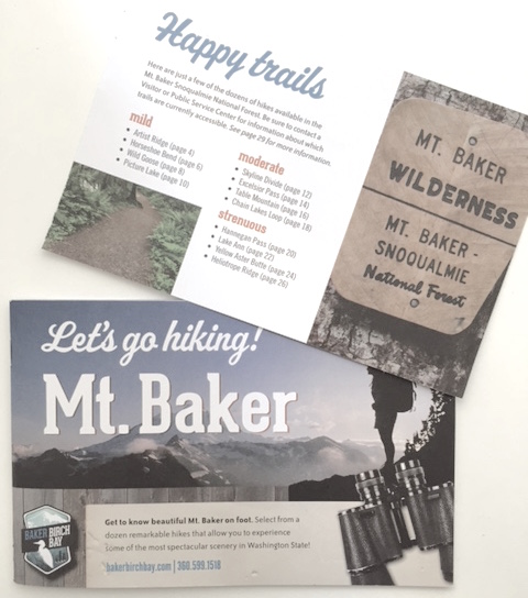 Fire and Ice Trail (1/2 mile / .8 km)
This is a self-guided interpretive trail, and is wheelchair accessible. Several other trails also begin at this point. Park at the Heather Meadows Visitor Centre at milepost 56.
Artist Point, Mount Baker
Artist Ridge (1 mile / 1.6 km)
This self-guided interpretive trail takes you to overlooks with great views of Mount Baker and other peaks. Trail begins at the east side of the parking lot at Artist Point.
Chain Lakes Trail (1+ miles / 1.6+ km)
The first mile of this trail is nearly level, although on the side of a steep slope. It takes you to a junction with a closer view of Mount Baker. At this point the trail splits and ambitious hikers can continue to Chains Lakes or Ptarminagn Ridge (4-5 more miles). Trail begins at the south west end of the Artist Point parking lot.
Table Mountain (1.5 miles / 2.4 km) No dogs
The first part of this hike is steep and zig zags up through lava cliffs. (Not recommended for young children). It ends at mountain top with panoramic views. Trail begins at the north west side of the parking lot at Artist Point.
Resources
Always be prepared for any kind of weather by bringing layers of clothing and plenty of water. Pack out what you pack in, follow signs, stay on the trails, and don’t always count on your cell phone for GPS. Stop into the visitor centres for physical maps to bring along as well.
For all of this trail info and more, follow Bellingham Whatcom County on Facebook and Twitter, as well as the National Forest Service on Facebook and Twitter.