Vancouver Then and Now App
A few years ago I began a “Before and After” series where I would compare photos from the Vancouver Archives with Google Map locations today. It featured old buildings that were still standing, stores that used to be hotels in Vancouver’s formative years, and glass towers in the place of old theatres. Vancouver is a fairly ‘young’ city on a global scale but there still is much modern history to be absorbed and recognized.
Jeremy Hood took the “Vancouver Then and Now” concept to a whole other level, snapping up his own photos of specific locations throughout the city. I profiled his elaborate efforts back in 2010 and now he’s partnered up to make a mobile app just for “Then and Now” images.
Developed by My City Before (who also has Then and Now apps for Barcelona, Paris, Montreal, Nantes, and Metz) the app is available for iPhone and Android for $1.99.
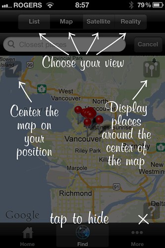
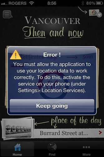
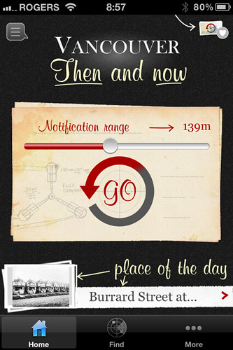
The app seems ideal for being out-and-about, checking out where you are on the map and being alerted of nearby “Then and Now” locations. From home, where I didn’t want to input my current location, the app kept giving me a pop-up error. After appearing about 4 times, it finally went away and I was able to browse the images and pin-points on the map without entering my own location first.
The “superpose to reality” feature is great for those who want to explore on their own and instantly get a “then” photo to match the “now” that’s right in front of them. It’s sort of like the Monocle feature on the Yelp app. I’ll probably use the app next time I’m out for a walk or to create a little tour.
If you don’t want to spend two dollars, follow the Changing Vancouver Then and Now website by local historians Andy Coupland and John Atkin. There’s also History Pin where anyone can add their own images to a map of Vancouver.










1 Comment — Comments Are Closed
2 Dollars?! You know how much 2 dollars bought 100 years ago? Well, do ya?? ( I mean really, do you? Just curious… )
(:^]