Metro Vancouver Park: Traboulay PoCo Trail
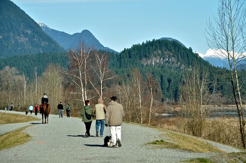
It’s too hard to resist a stroll in the sunshine when the clouds part over Metro Vancouver which is why there were so many families, joggers, dog-walkers, cyclists, and bird watchers along the Traboulay PoCo Trail this past weekend.
How to get there
The three main entrance points for the trail are through Gates Park, Lions Park, and DeBoville Slough. Port Coquitlam is about 30-40 minutes outside of Vancouver heading East via Highway 1, Barnet Highway & Lougheed Highway, or Lougheed Highway 7.
Features
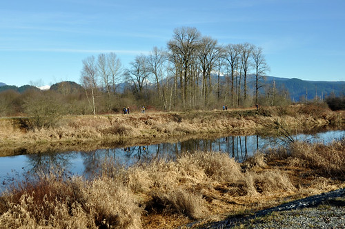
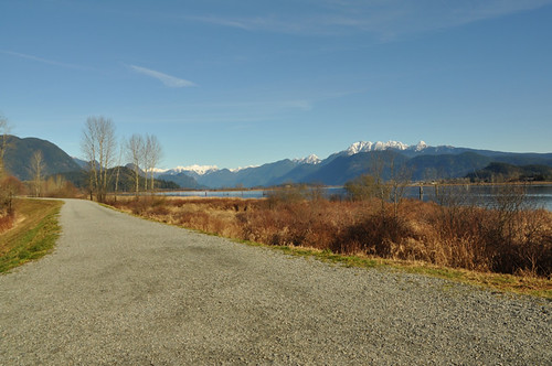
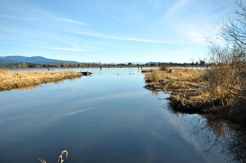
The Traboulay PoCo Trail network is 25 kilometers long and circles all of Port Coquitlam. The flat pathway is paved in some sections or covered in gravel and passes through a forest, over creeks, through meadows and along the riverfront. A large portion is also a part of the Trans Canada Trail.
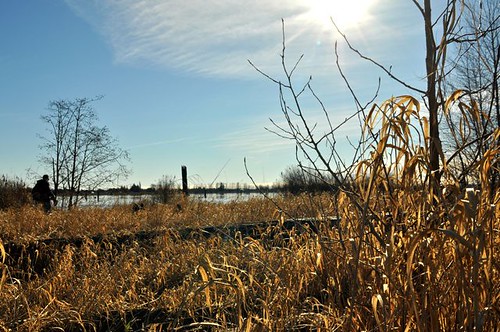
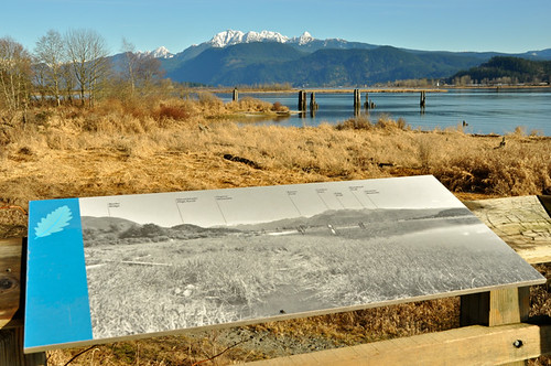
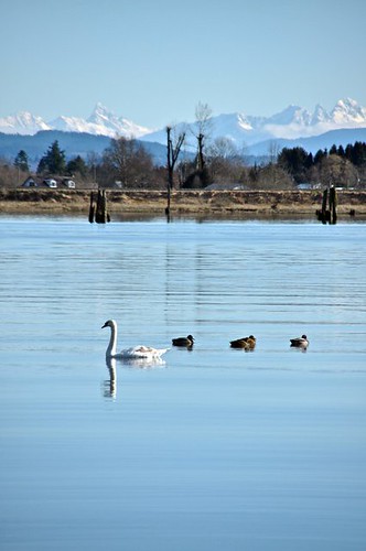
Dogs are welcome (on-leash although I didn’t spot one that was) and there are waste baggies at several stations along the route. You can also find structured ‘lookout points’ and information placards. The trail is great for a run, walk, ride or for spotting wildlife namely about 150 species of birds that can be found along the trail.
History
Plans for the PoCo Trail began in 1967 as a part of a Canadian centennial project. Taking shape in the 1970s, upgrades were made in 1997, and in 2001 it was renamed the Traboulay PoCo Trail in honour of the late Mayor Len Traboulay.
Should you have a suggestion for the Metro Vancouver or Fraser Valley Park series, please feel free to contact me or drop a note in the comments below.




2 Comments — Comments Are Closed
Yay PoCo!
They should rename it to Poop Trail – 80% of all dogs off the leash, poop all over the place despite the waste baggies that are easily available along the trail. Way to go, dog owners.